
Social Mapping
Social Mapping is about helping children understand the places where they live and how they connect with them. By imagining, drawing, and discussing the spaces that matter — from playgrounds and hangouts to routes to school and favourite meeting spots — children learn to express their views and recognise what makes a neighbourhood feel welcoming and supportive.
This process teaches valuable skills: how to share ideas, listen to others, and reflect on what makes a community thrive. It encourages empathy, collaboration, and a sense of belonging to the places we call home.
To support this, we’ve created a set of teaching packs. Each pack provides structured activities, resources, and discussion prompts that you can use in the classroom or outdoors. Whether designing imaginary maps, annotating real ones, or planning a local walk together, these packs are designed to make social mapping engaging, inclusive, and memorable.
Teaching Packs
Social Mapping Activity 1: Understanding our Area
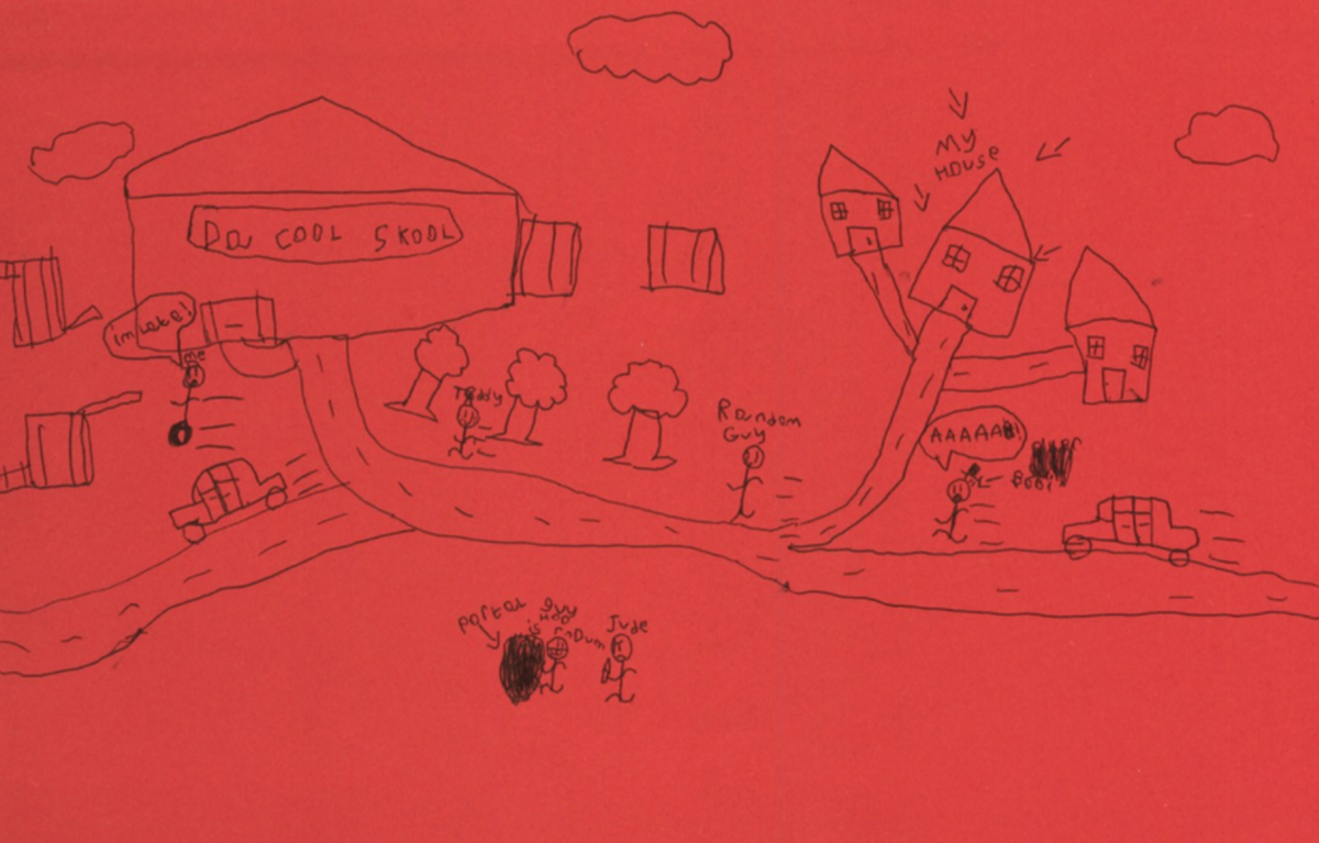
Social Mapping enables pupils to reflect on their neighbourhood, express what matters to them, and consider how their community could be more youth-friendly. This pack guides activities from drawing imaginary maps to annotating real maps and planning a walk, encouraging place-based learning, peer discussion, and civic awareness.
Social Mapping Activity 2: Exploring our Area - Walking and Talking about Places
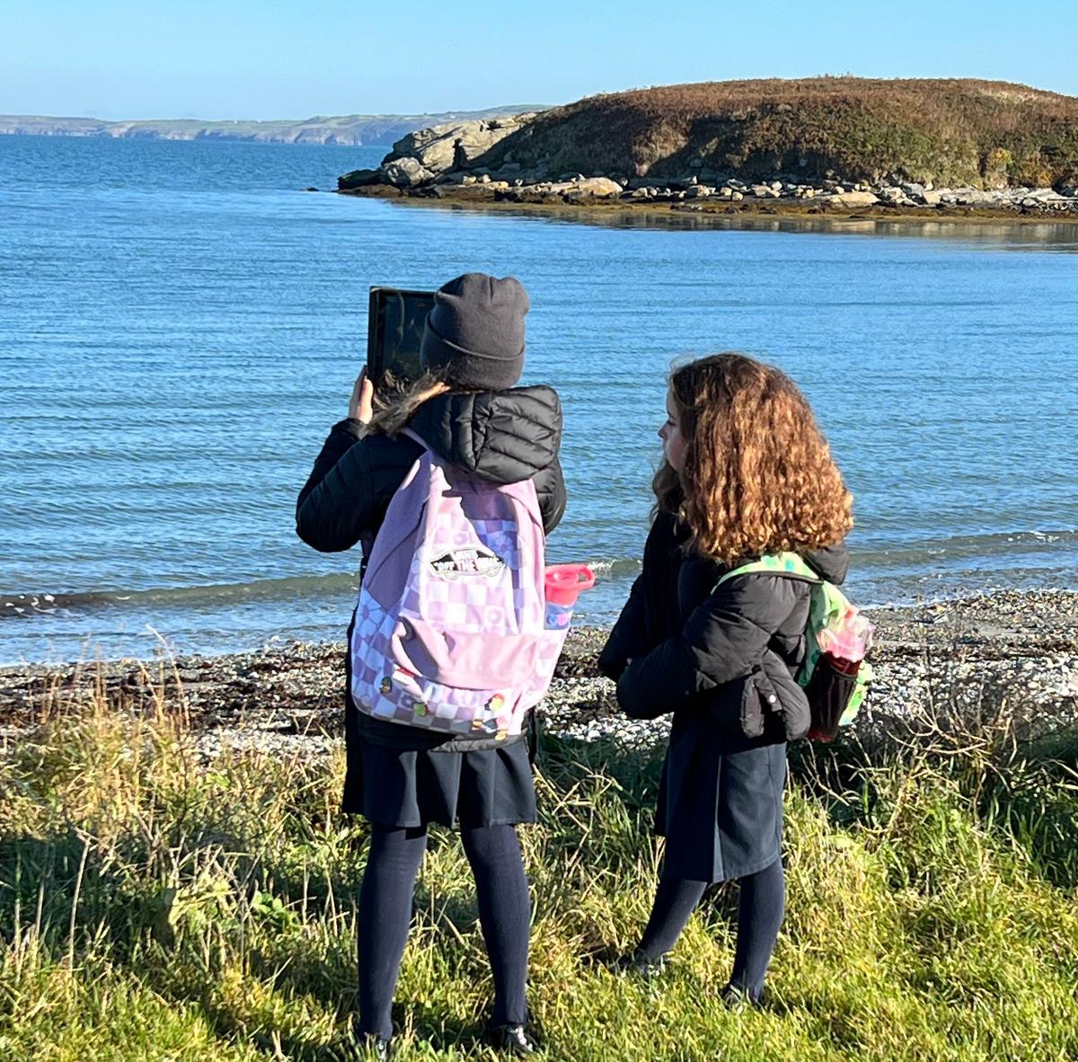
In this second activity plan for social mapping, through a local walk to the places that we use regularly, places we feel are important to our community, or places we feel could be improved, we talk about these places in situ: how we feel here, what we like and do not like about them, and what characteristics of the places enable us to playa, socialise or hangout with friends. We also explore whether these places require any change and how we can make them better. Finally, on our return from the walk, we reflect on our experiences of the walk, analyse the data collected and suggest changes to make the place better.
Social Mapping Activity 3: Improving Places
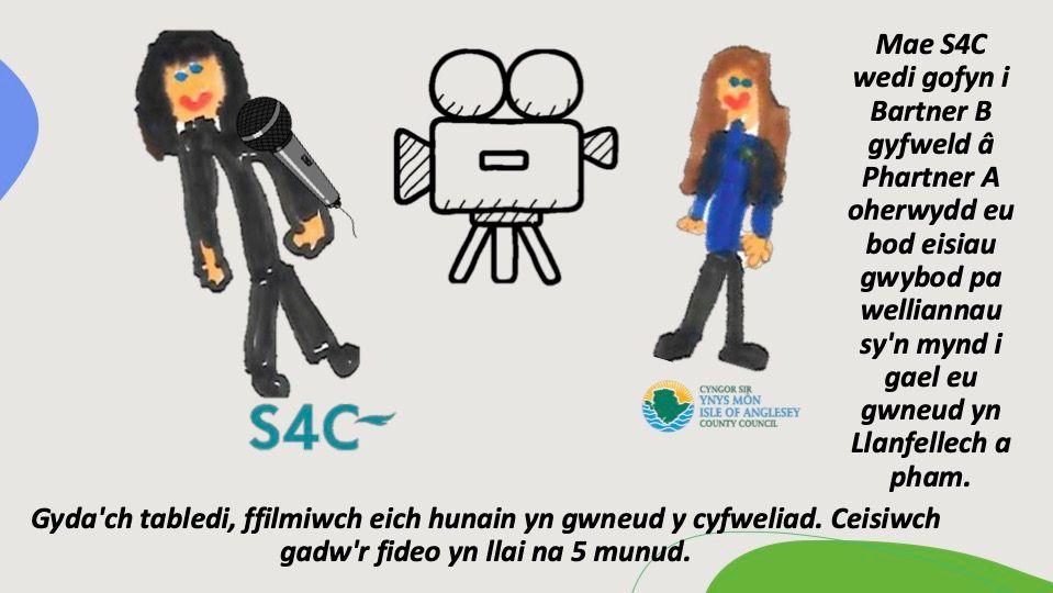
In this third activity plan for social mapping, based on the earlier two activities, learners can prioritise the areas that need improvement in their local area, asking the question: Which places in our local community are most important to us and why? They will also explore ideas for improving these specific areas, and can make short interview videos where they can talk about what is meaningful to them in their area, and how they might improve it.

Social Mapping Activity 4: Mapping with Digital Tools
This final social mapping activity focuses on familiarising the learners with digital mapping concepts and tools, with an emphasis on hands-on learning with uMap. uMap is a free website that allows anyone to create their own map using data from OpenStreetMap. It is easy to use, and students can share their maps with friends, teachers, or family. Learners can experiment with digital mapping tools to make a 'social map' of their area, identifying meaningful locations to them, uploading creative materials and photos, and sharing their maps.